Training workshop on wind resource mapping 13-19 December 2015: The proper assessment of the wind resource at any potential wind farm site represents the cornerstone in the decision-making process of whether the site is to be considered for wind turbine installation or not. Unlike other renewable energy technologies, wind farms need to be preceded by a detailed and extensive qualification of the measured meteorological data which in turn needs to be done over an extended period of time exceeding 18 months. Today, the Wind Atlas Application Program (Wasp) is widely used in carrying out the qualification process. It provides the mathematical means to analyze wind measurement to obtain the power density, establish related information and data in a GIS format, identify the best clean (line-of-site) location for siting wind turbines, calculate the energy yield of the wind farm, and forecasting/extrapolating wind energy resources at nearby sites using measurement obtained at a single site.
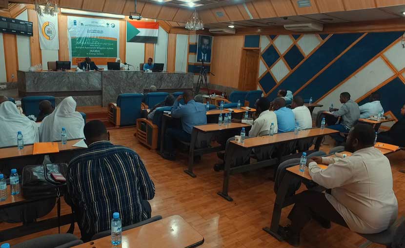
This workshop is intended to equip participants with the necessary knowledge to evaluate any wind measurement at any location and do the mapping to include nearby sites and predict wind farm performance under the prevailing climatic conditions.
The following entities are taking part in the workshop:
- University of Khartoum
- Neelain University
- Sudan University of Science and technology
- The Energy Research Center
- Solar Man Company Limited
- Ministry of Water Resource and Electricity
and the Wind Energy Project with the number of participants being 11 participants.